Alaska Hiking - Kenai to Denali, July 12-23, 2018
We
took a REI Adventures hiking trip to
Alaska and flew to Anchorage 2 days in advance
of the start
of the trip.
Page One - Anchorage, Chugach Mountains,
Kenai National Wildlife Refuge, Exit Glacier
and Harding Icefield
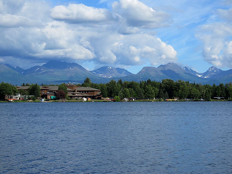
The Lakefront Anchorage where we stayed 2 nights before
the REI Adventures hiking trip started. Lake Hood, where
small planes take off and land constantly, in foreground.
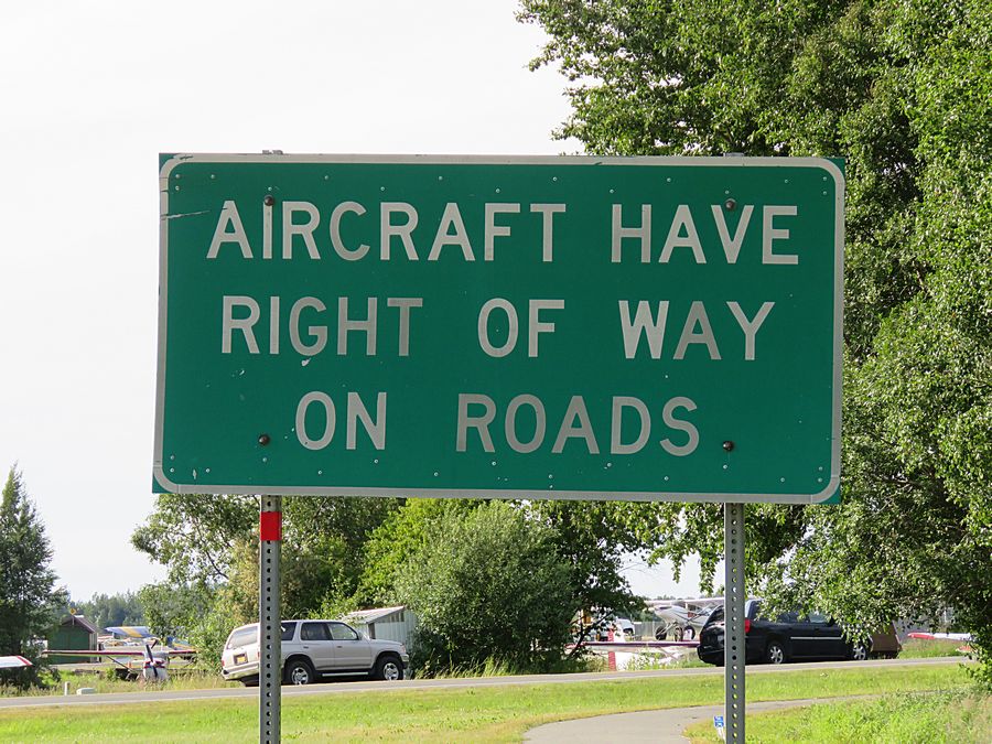
Many parts of Alaska are only reachable by plane, so it's no
surprise there are roads where aircraft have the right of way.
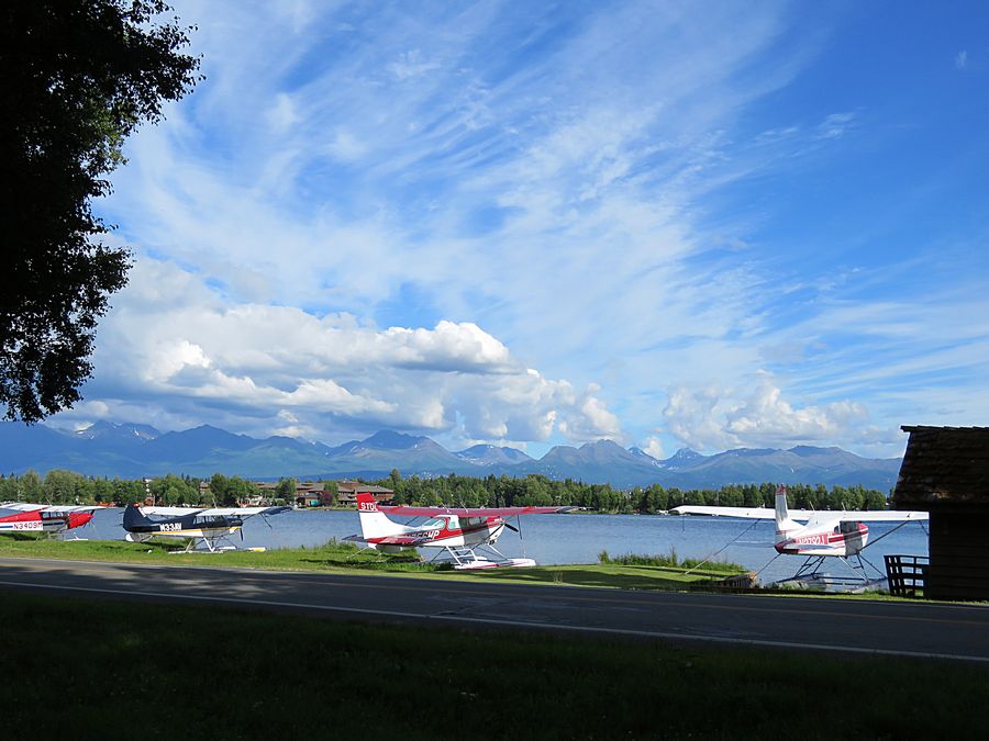
Some of the docks for small planes along
Lake Hood
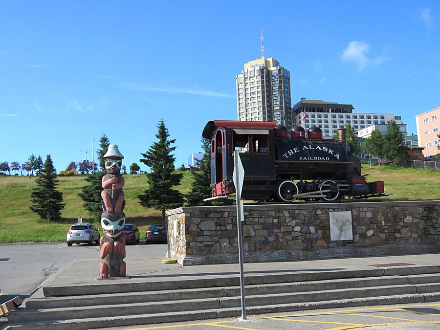
We took a trolley tour around Anchorage starting from the
downtown Anchorage Visitor Center. This old train is in front
of the railroad station.
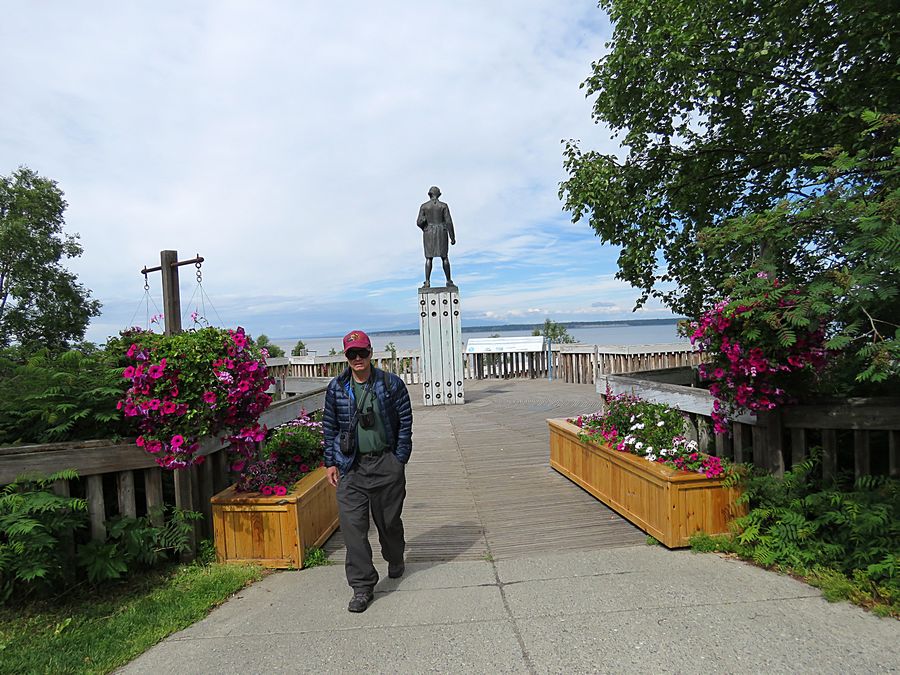
Jeff leaving Resolution Park area in Anchorage.
Statue of British explorer James Cook in the
background. Cook charted the majority of the N. American
northwest coastline on world maps for the first time.
He determined the extent of Alaska.
Cook Inlet, behind the statue, is named after him.
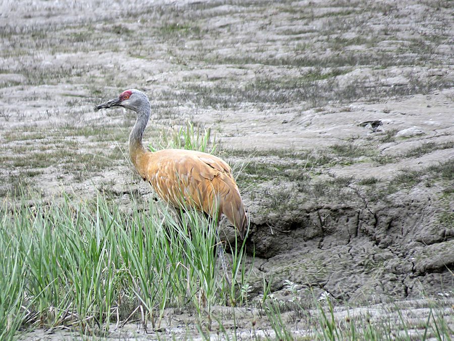
Sandhill crane on Tony Knowles Coastal trail in Anchorage,
which runs along the Cook Inlet.
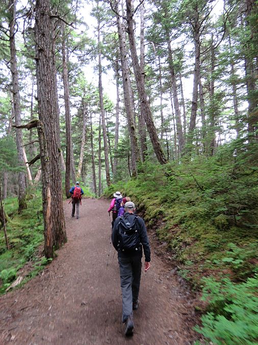
After meeting our guides and tour group at the Lakefront
Anchorage, we drove down along Turnagain Arm to the trailhead
of our warm-up hike in the Chugach Mountains, the Winner
Creek trail. Turnagain Arm is a waterway into the northwestern
part of the Gulf of Alaska. It extends in an east-west direction,
and is between 40–45 miles long. It forms part of the northern
boundary of the Kenai Peninsula south of Anchorage.
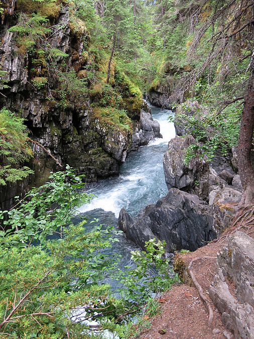
Beautiful spot along the Winner Creek trail
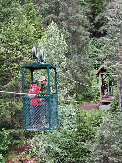
Girdwood Hand Tram - built to cross a gorge above the
creek shown in the photo above
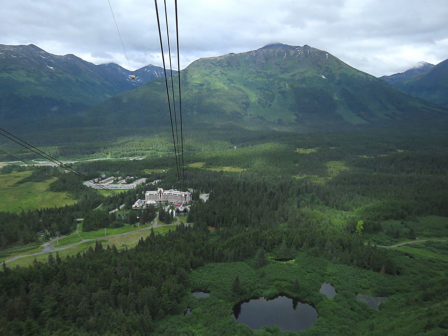
After the hike, we drove to the small town of Girdwood and took
a tram to the summit of Mt. Alyeska where we had lunch.
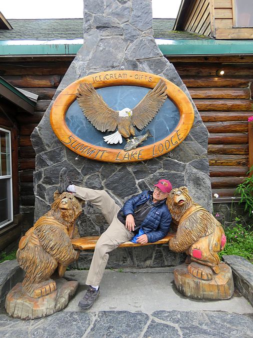
Jeff relaxing at Summit Lake Lodge where we stayed in cabins
the first night of the hiking tour.
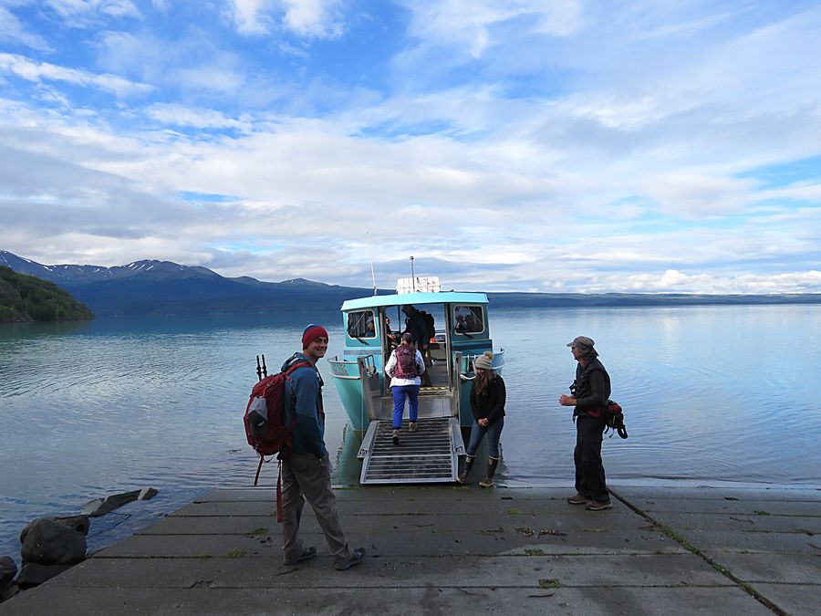
On the second day we drove to Skilak Lake
to board a boat
for a transfer across
the lake to the Cottonwood Creek trailhead in
the Kenai National Wildlife Refuge Area.
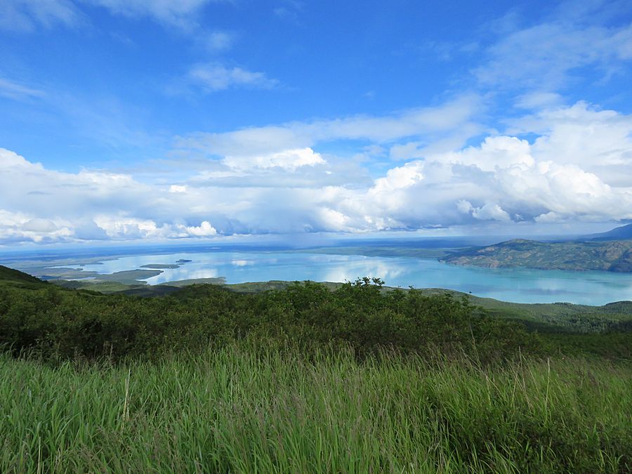
View of Skilak Lake from Cottonwood Creek trail
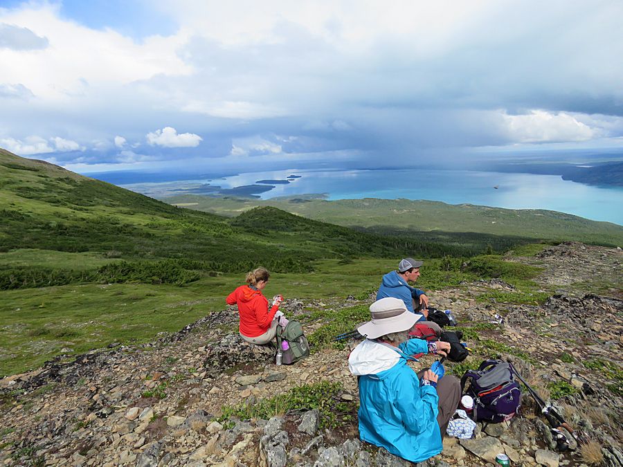
View of Skilak Lake and Kenai National
Wildlife Refuge from
our lunch stop on the tundra.
Tour guide Frazier in front.
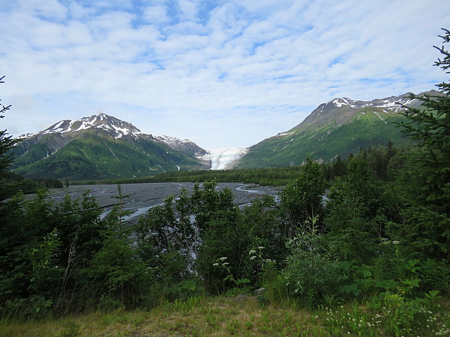
Exit Glacier from the road to the
Exit Glacier visitor center
Exit Glacier is a glacier derived from
the Harding Icefield in the Kenai Mountains in Kenai
Fjords National Park. It got its name for serving
as the exit for the first recorded crossing of the
Harding Icefield in 1968.
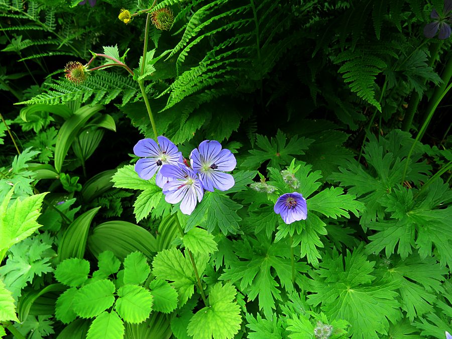
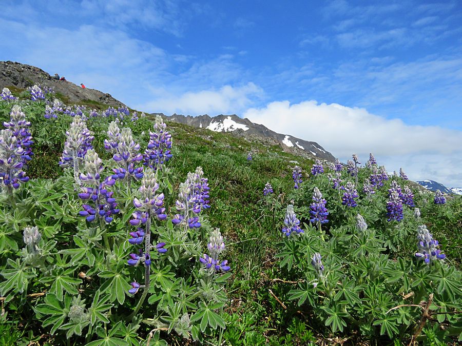
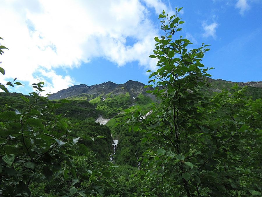
Northern Geranium flowers along the trail to Exit Glacier
and Harding Icefield,
Kenai Fjords National Park.
Harding Icefield was named after
President Harding following his 1923 visit to Seward.
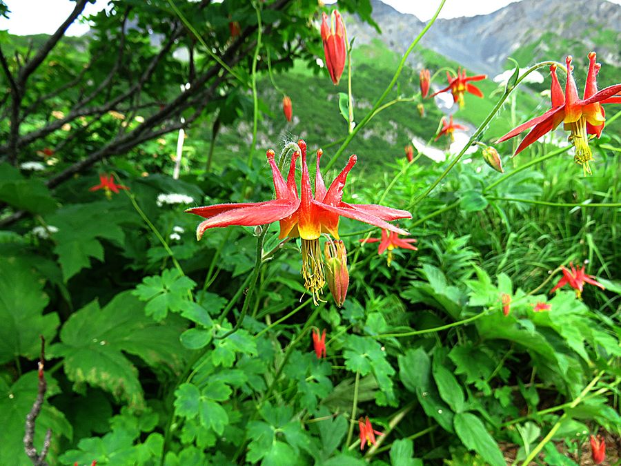
The beautiful Alaskan Western Columbine.
It blooms mid-June through July.
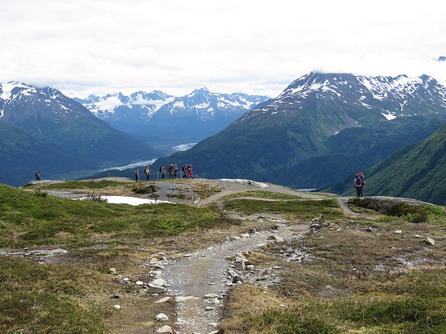
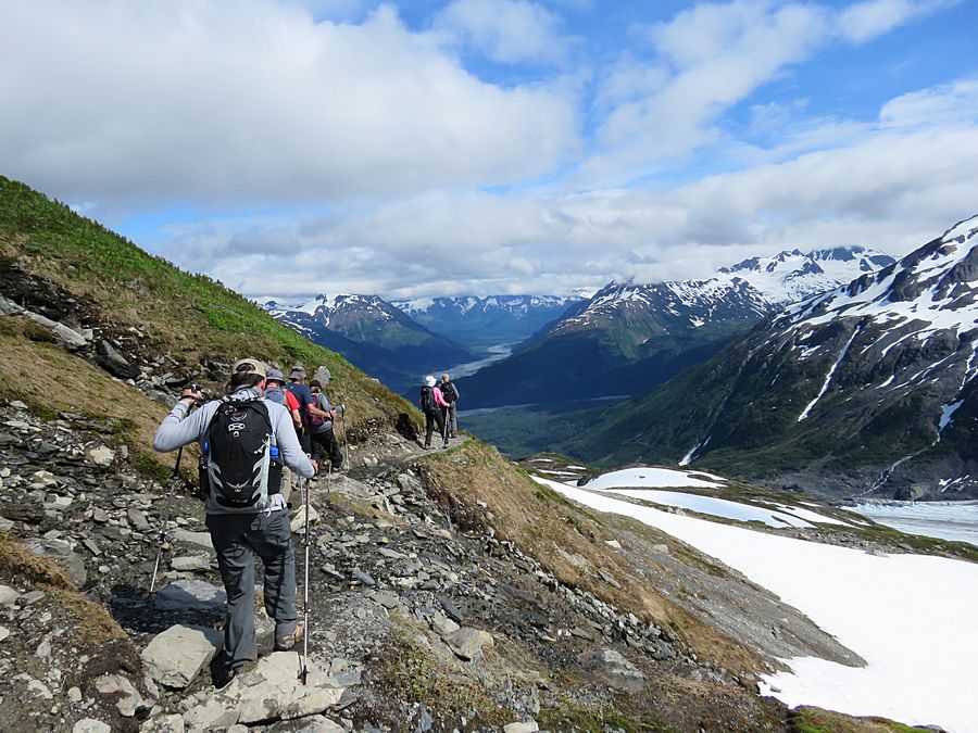
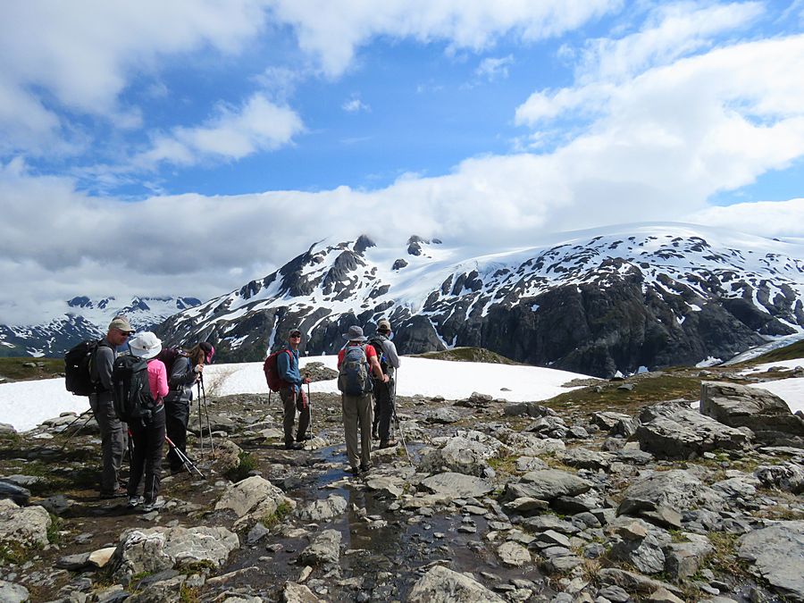
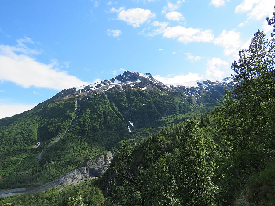
Looking back at the valley below on the
way to the Harding Icefield. We were
hiking parallel to the Exit Glacier.
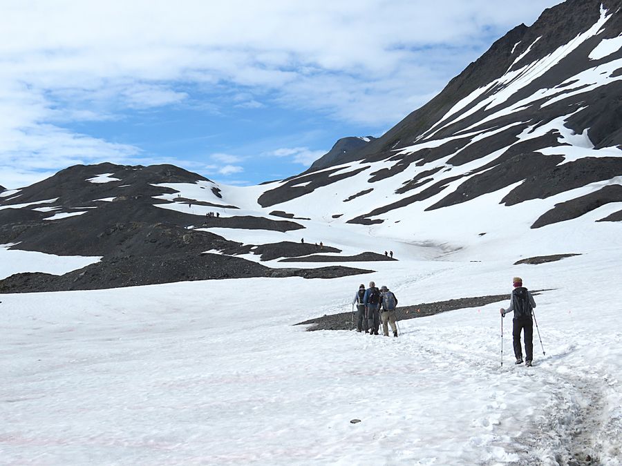
Snow covered trail on the way to Harding Icefield
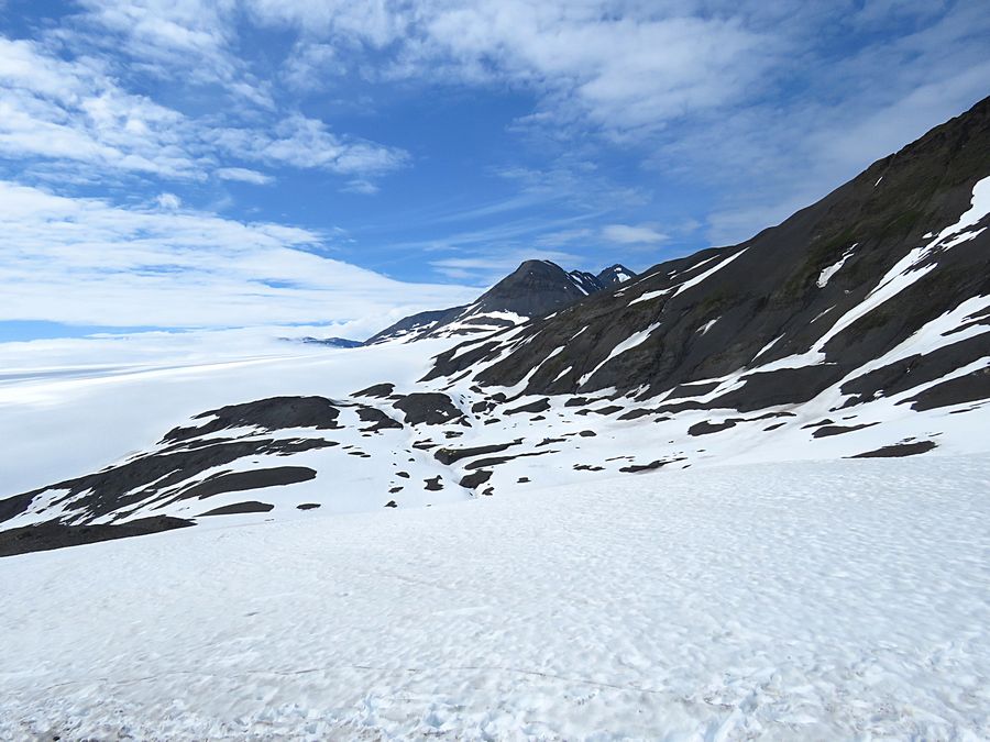
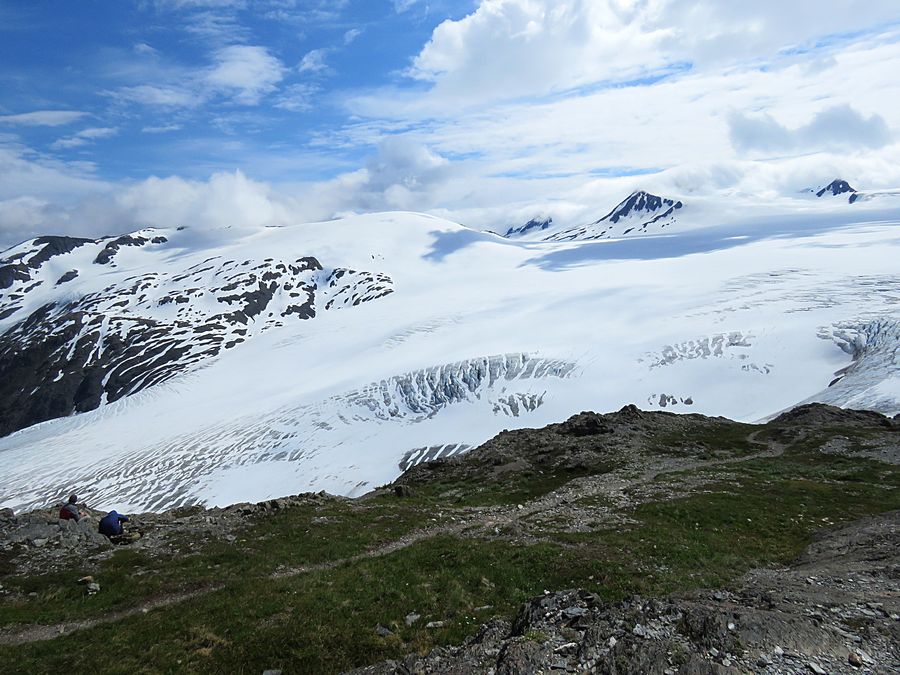
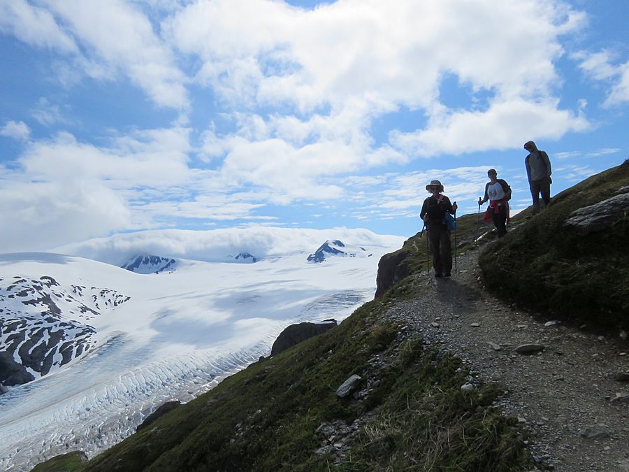
A view at Harding Icefield
View behind us. Icefield was in front of us.
Exit Glacier and Harding Icefield
Exit Glacier is a valley glacier and a visible
indicator
of glacial recession
due to climate change.
There are signs along the first part of the
trail showing where the glacier used to be at
various times.
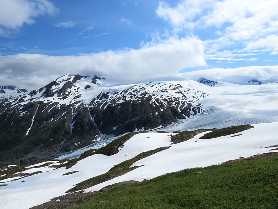
Harding Icefield
The Harding Icefield is over 300 square miles in its entirety
(although, if one were to count its glaciers which descend from
the icefield in all directions, the icefield measures at over 1,100 square
miles.
The icefield spawns up to 40 glaciers of all types.
Exit Glacier is the most accessible of the glaciers.
The icefield is also one of four remaining icefields
in the U.S.and is the largest icefield contained entirely
within the U.S.
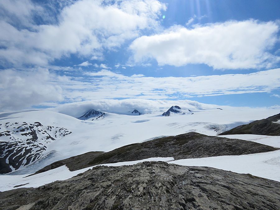
Another view of Harding Icefield and Exit Glacier
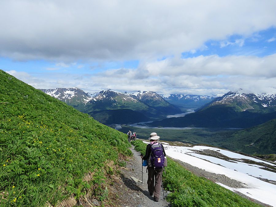
Heading back down from Harding Icefield
Looking back at Harding Icefield as we are hiking down
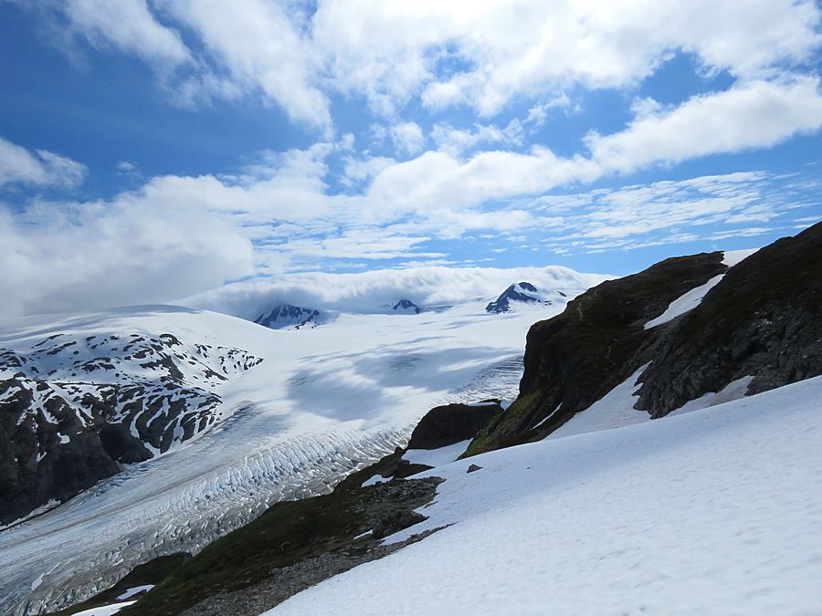
Hiking down parallel to Exit Glacier
Still heading down
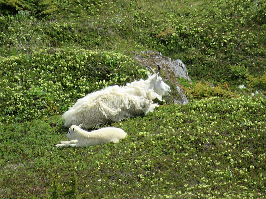
Two of several mountain goats seen from the trail
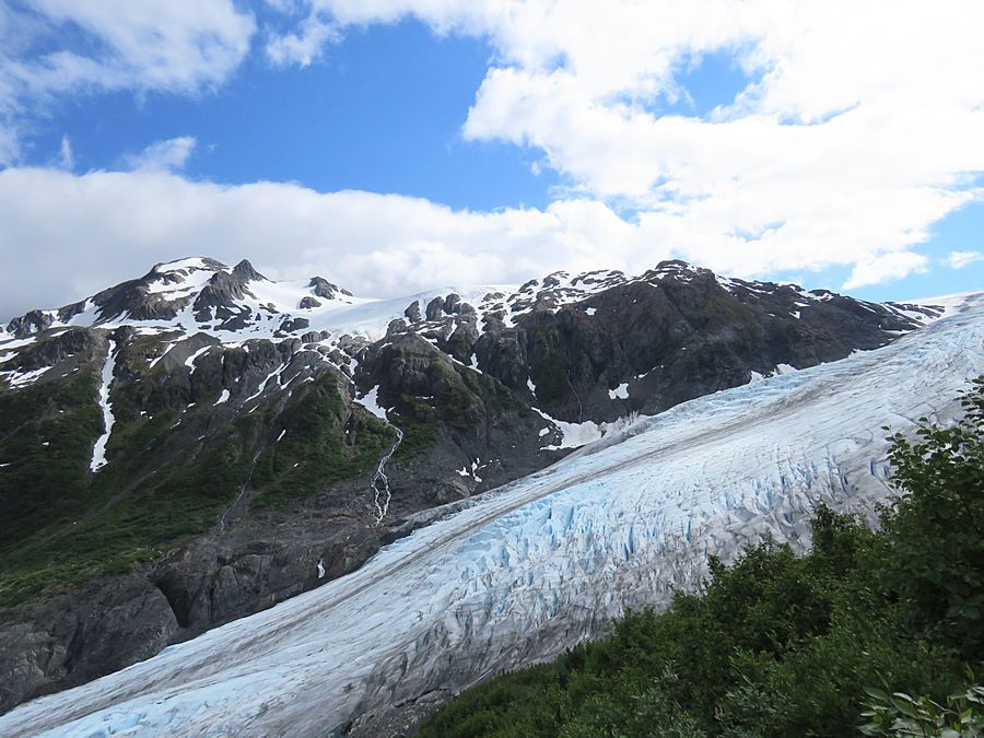
A closer view of Exit Glacier
Kenai Mountains in the background on the return
to Exit Glacier trailhead
Mountain across from us with Exit Glacier
in between
Link to Page Two - Seward
Pat's Home Page